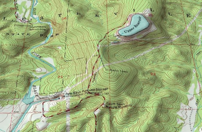
- A group of scientists from Al-Azhar University and the Giza High Institute of Engineering & Technology, in Egypt, has developed a geographic information system (GIS) model based on remote sensing to identify suitable sites for pumped-hydro energy storage.
The model is based on multi-criteria decision analysis (MCDA), which is a decision-making technique that considers multi-dimensional factors and enables the comparison of technologies by combining individual criteria into one overall approach. The model’s criteria were outlined with the weighted linear combination (WLC) technique, which is a decision rule for deriving composite GIS maps.
The proposed technique considers a pumped-hydro project’s head and elevation difference, the penstock-length distance from the base plant, the site’s slopes and slope of the ground surface, the distance to the national grid and road networks, and the soil suitability. It also takes into account constraints such as land use and restrictions.
The model was tested on the whole land of Egypt and, in particular, a buffer zone with a 5km distance around water body surfaces. “This area is bordered by Palestine at the northeast; the Red Sea at the east; Sudan at the south; Libya in the west; and the Mediterranean Sea in the north,” the scientists specified.
The model was delineated in the paper A GIS model for exploring the water pumped storage locations using remote sensing data, published in The Egyptian Journal of Remote Sensing and Space Science.
Author: Emiliano Bellini
This article was originally published in pv magazine and is republished with permission.


